
Coastal Flooding


1. Flood at Delaware Bay
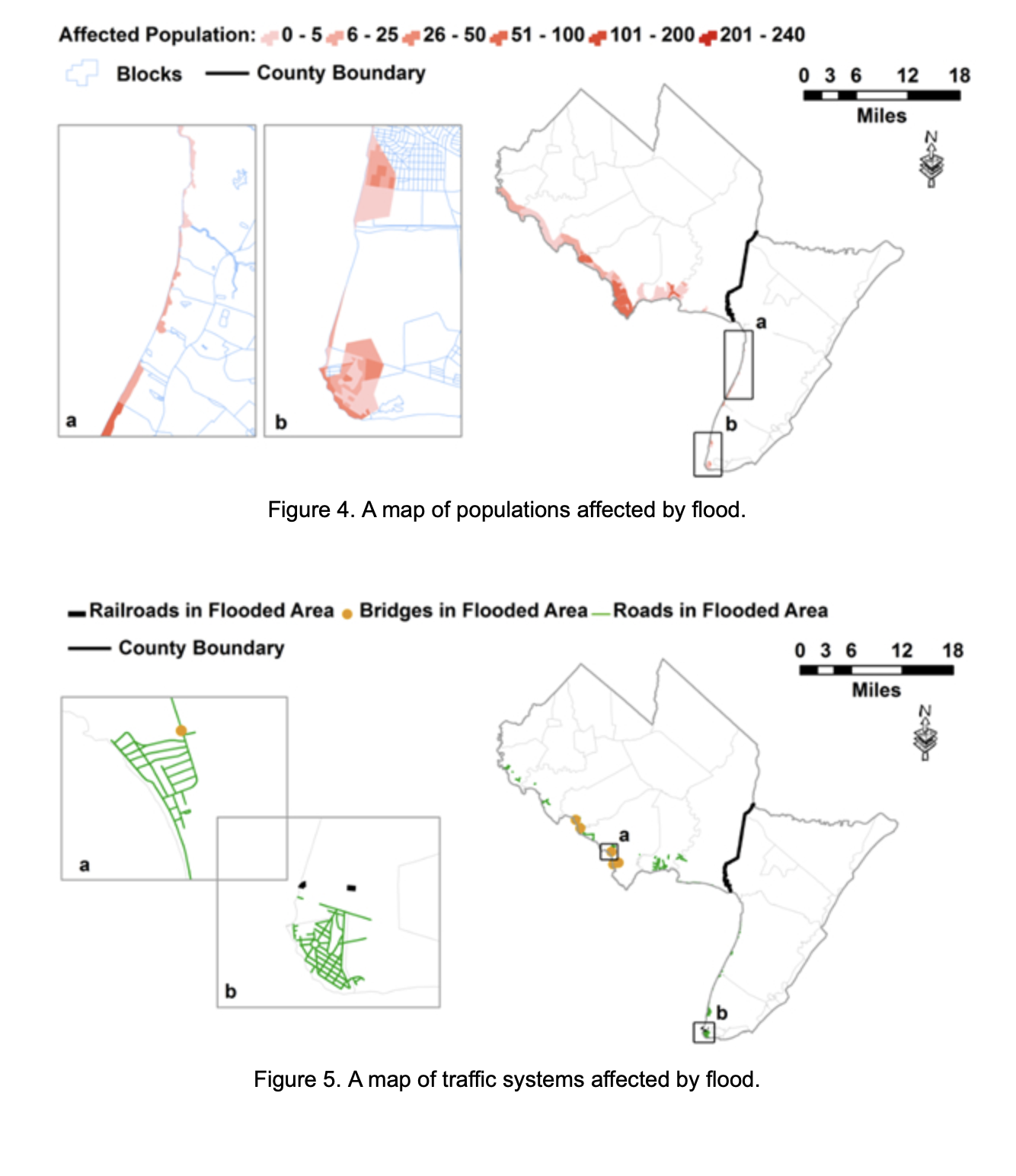
A hydrodynamics and hydrology hybrid method is developed and applied to simulate coastal flooding at the east bank of Delaware Bay in climate change conditions. In order to predict flood at traffic systems and residence zones with high resolution and at affordable computation expense, a two-way coupling of FVCOM and a shallow water model (SWM) is used as the hydrodynamic approach, and a topography-based method is employed as the hydrologic model. The sponsor is the the University Transportation Centers program, and a project report is presented at:
Vulnerability of Transportation System and Evacuation Plan.pdf
in collaboration with Steven I-Jy Chien and Marouane Temimi. The following are example results:

Figure 1. Meshes of FVCOM and SWM. The black dots indicate the locations of observation stations of which the data is used as the boundary conditions or for calibration.

2. Hurricane Sandy Data Collection
This is an NSF Rapid project, and a website for the project is at
https://www.ccny.cuny.edu/htang/collection-data-flood-and-damage-during-hurricane-sandy
3. Hurricane Sandy Data Collection
This is an NSF project, and a website for the project is at
https://www.ccny.cuny.edu/htang/hydrodynamic-vulnerability-coastal-bridges-extreme-waves
Last Updated: 09/25/2026 13:45